Our selection of hikes in Clarée:
the Lake and the sources of Clarée
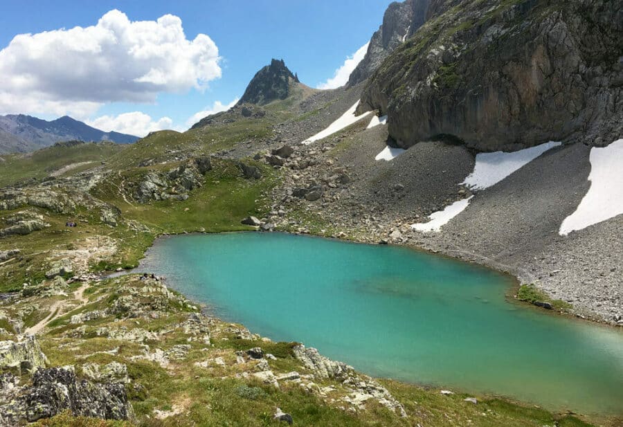
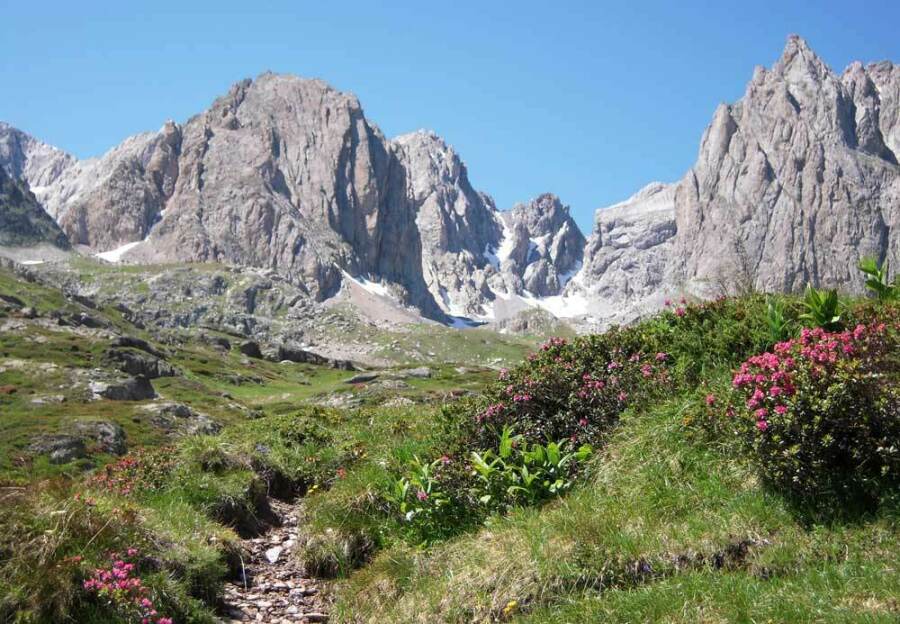
One of the most beautiful hikes in the Clarée Valley?
This magnificent hike which will take you to the Lac de la Clarée (source of the river), has an estimated difficulty level of 2 on a scale of 5. The altitude difference is 450 meters to reach the lake, allow 2 hours of walking .
CAUTION: To better manage the influx of visitors, access to the upper Clarée valley is restricted in certain time slots from mid-July to mid-August. However, a shuttle allows you to travel at any time between Névache and Laval. Information here.
Equip yourself with the IGN TOP25 3535OT card to accompany you on your hikes in Névache and Vallée de la Clarée.
Where to access the sources
and Lake Clarée?
From Briançon, go to the Clarée Valley. Arrive at our Chalet Hotel, head towards the Laval car park.
This is where you can start the hike:
- From the Laval car park, take your choice: the GR 57 hiking path, or the pretty path along the Clarée river (cross the Moutet bridge).
- You will go through the Drayères refuge (at 2 m) and then continue straight for about an hour.
- Arrival at the famous Clarée Lake (at 2 m) from where the river takes its source.
- Take out your picnic, open your lungs wide and enjoy this good dose of pure air!
For those who want to make the pleasure of walking last a little longer, it is possible to continue the GR:
- +10 min until Rond des Rochilles lake,
- +10 mins until Grand Ban Lake,
- +20 mins until Col des Rochilles (border with Savoy!)
Want to discover the sources of the Clarée?
Contact us
You would like more information to organize
your mountain hiking stay in Névache en Clarée?
« * »Indicates the required fields
